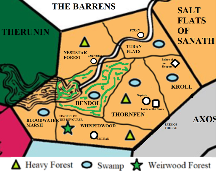
File:Sarangrave Region Map.png
No higher resolution available.
Sarangrave_Region_Map.png (729 × 576 pixels, file size: 507 KB, MIME type: image/png)
Map by Stephen Kirkbride
File history
Click on a date/time to view the file as it appeared at that time.
| Date/Time | Thumbnail | Dimensions | User | Comment | |
|---|---|---|---|---|---|
| current | 00:11, 14 July 2022 | | 729 × 576 (507 KB) | Hailmur (talk | contribs) | Added forest to the region of Thornfen |
| 18:52, 29 June 2022 | 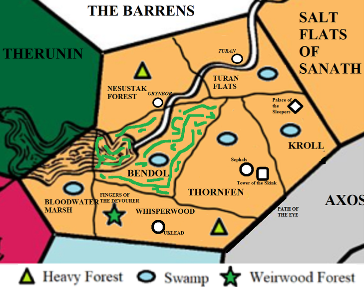 | 729 × 576 (519 KB) | Rafferty (talk | contribs) | Map by Stephen Kirkbride |
You cannot overwrite this file.
File usage
The following 3 pages use this file: